The Best Navigation Aid Amidst The Action
Designed for Small Boats
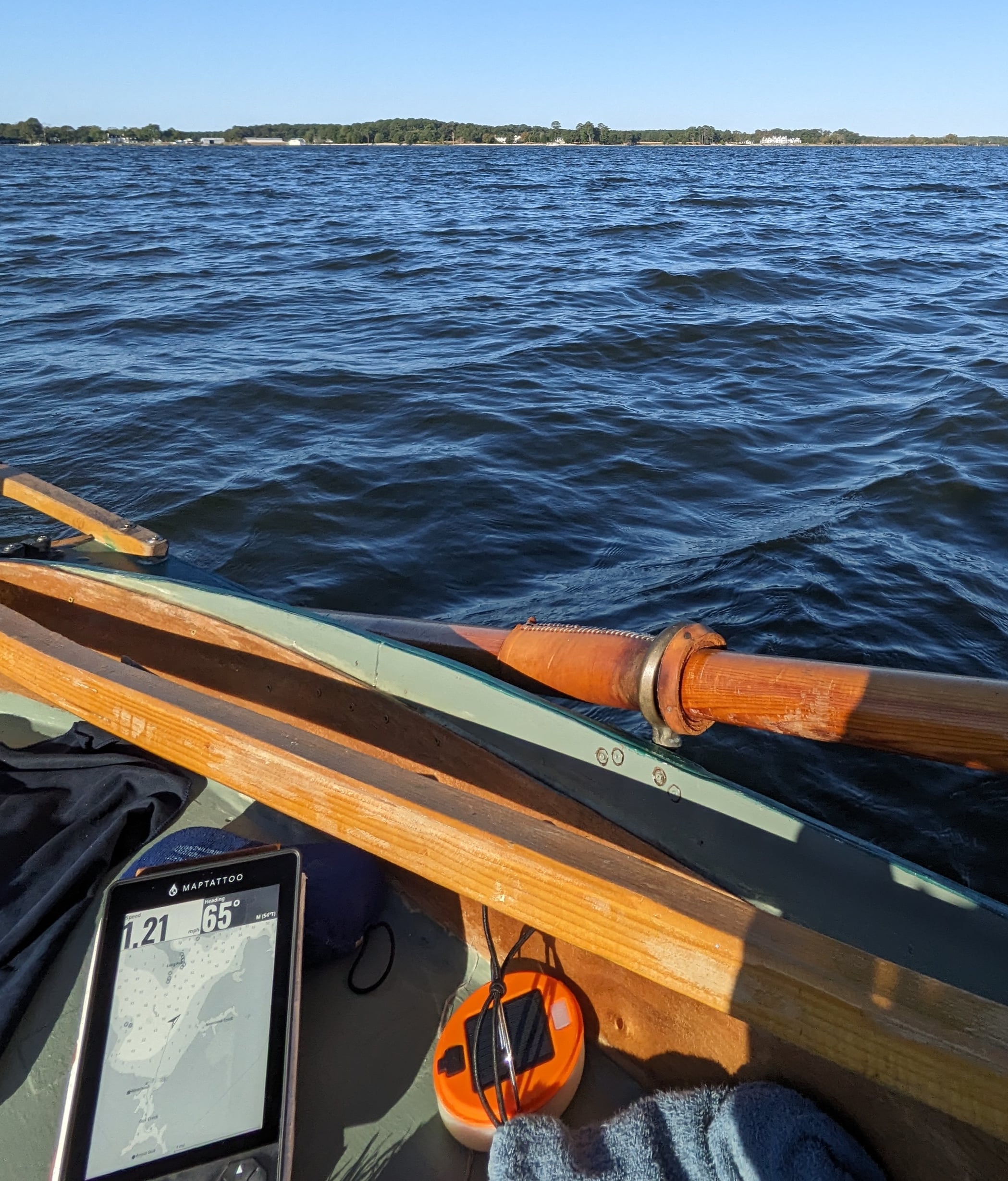
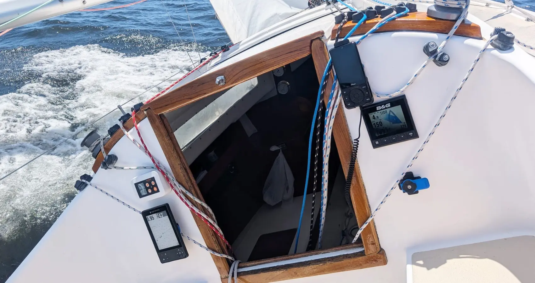
Between the waves, the gusts, and everything else on board, being in the action can be all-consuming. MAPTATTOO was designed to give you the easiest experience navigating – so you can focus on what truly matters. With its E-Ink Screen, readable in sunlight, usable with wet fingers, and with exceptional battery life, it is the navigation aid for your next adventure.
Readable in Direct Sunlight
Excels in a Wet environment
50-hour Battery life
Readable in Sunlight
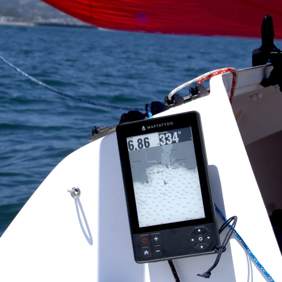
Sunlight readability is critical when navigating outside. Our 6″ E-Ink screen is perfectly visible in any condition and at any angle, giving you an edge in your next race and allowing you to explore the waters with ease.
“Even when my phone was at full brightness with the glare I couldn’t see anything on the screen effectively rendering it useless, but I could easily see the screen of the MAPTATTOO”
– Enzo Dougherty – Tester, seventy 48 Participant
Exceptional Battery Life
MAPTATTOO lasts for 50 hours. We optimized the battery life to keep the power consumption extremely low so you can navigate with confidence, no matter how long the journey is.
“MAPTATTOO is already an indispensable tool onboard. During a one week raid, we used it every day, and only neeeded to charge it once. It still has 40% battery.”
– François Frisch, Trimaran MOD 24 skipper.
Join the Explorers Team
Stay up to date with our next updates and subscribe to our newsletter now!
Use With Wet Fingers
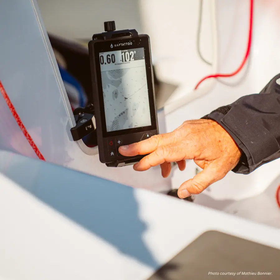
Rugged and waterproof, MAPTATTOO touchscreen is designed to excel in wet environment and can be used with wet fingers. But when conditions get really tricky, you can always rely on the keypad.
“This is a very good product released by fellow R2AK and Watertribe sailors. It fulfills the needs of waterproof functional tablet, designed just for the purpose of navigation of a small boat in wet environment.”
– Vladimir Eremev, Everglades challenge and R2AK participant
Navigate With Confidence
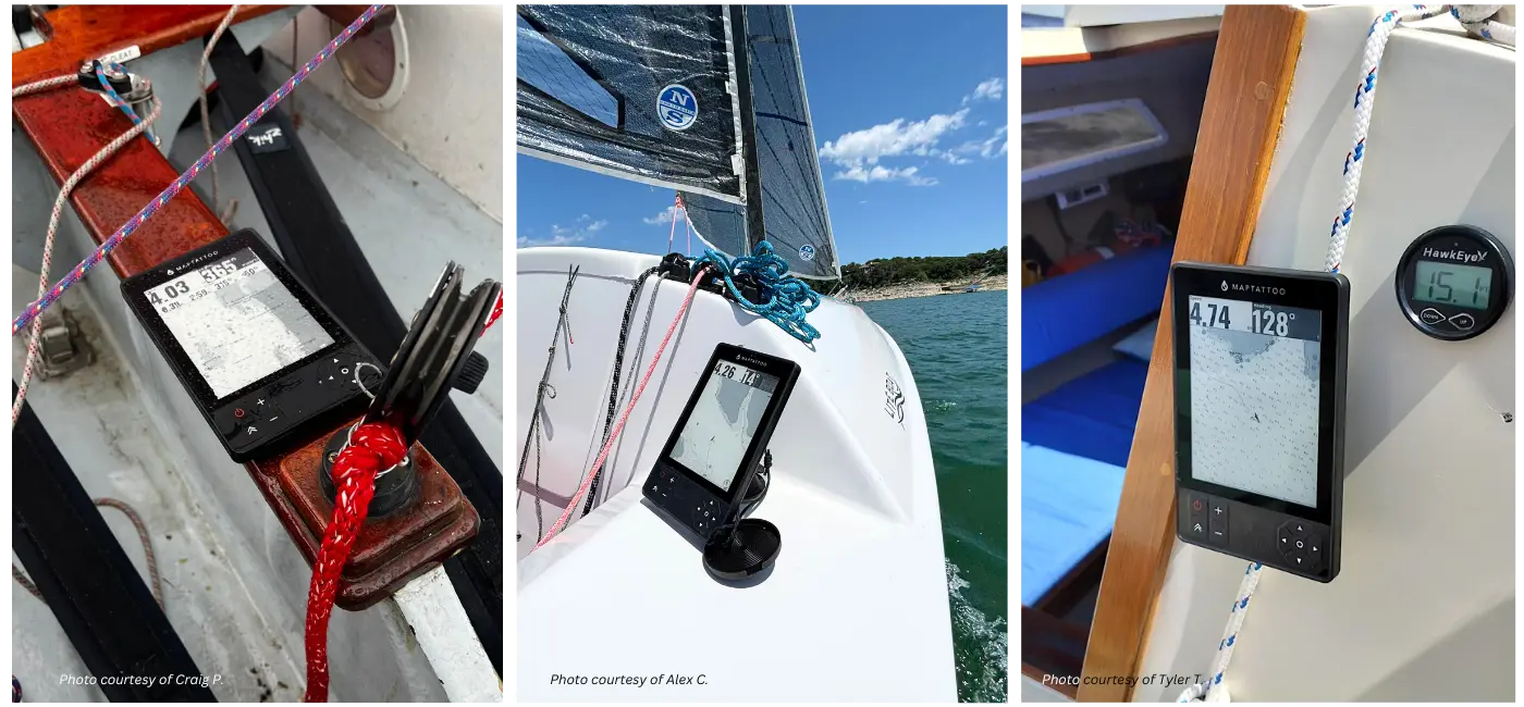
Built by sailors, for sailors. We designed MAPTATTOO’s hardware and software from the ground-up, optimizing the form and function to be the best they could be.
- Large 6″ E-Ink Screen
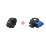
- Easy to mount
- Fast USB-C charging
- IP68 Waterproof
- Free Firmware and software upgrades
- 1-year warranty, free returns
Available Charts: USA, Canada & France
USA Pacific | USA Atlantic | USA Great Lakes | Canada Pacific | Canada Atlantic Canada Great Lakes | Canada Arctic | France
Coming soon: US Inland Lakes, Canada Inland Lakes, UK, Ireland
See The Difference
We fixed the flaws of most navigation solutions. Here’s a breakdown.
MAPTATTOO |
SMARTPHONE |
HANDHELD |
CHARTPLOTTER |
|
6″ Screen | ||||
High Visibility Numbers | ||||
Touch Screen | ||||
Works with wet fingers | ||||
Visible in direct sunlight | ||||
50-hour battery life | ||||
Rugged construction | ||||
IP68 Waterproof | ||||
Portable |
Our customers share insights
I have played around with OpenCPN for several years and was trying to integrate it into my boating, but I was never able to come up with something I liked. MAPTATTOO fit the bill, perfectly. The e-ink display is perfect for my usage. It only took a little adjustment to change from color charts to grey-scale - after 2 days use it is intuitive to me now (it probably helps that I spend lots of time there in the kayak) - and the outstanding readability in direct sunlight is awesome. And not having to have an electrical system in the boat is a huge plus.
I haven't taken it on an extended trip to check the battery life yet, but I didn't have to charge it until after 3 uses gives me hope.
The price seems high, but I think the product is worth it. Especially if they continue to update it. I am looking forward to inland maps, too.
Keep up the good work, MAPTATTOO, I think you have a great product with excellent potential on your hands.
MAPTATTOO solves these problems with its highly readable display and long battery life. It really is the perfect device for small boats and I even take it along on my larger boats as a back up.
Need more interior lake charts pls.
We tested it out on a 48’ motorboat and frankly I liked it better than the fancy much more expensive chart plotter built into the boat. It was easier to read and easier to use. It was also better and easier to use than the various apps on my iPad and iPhone, plus in some conditions the screen is MUCH easier to read. Five Star Rating all the way!
I am doing the Lake Erie Solo Challenge 2024 on August 10, and the MapTattoo tablet will be there with me. This is a 312 mile race crossing Lake Erie from Monroe, Michigan, to Buffalo, NY, then to Erie, PA, non-stop and singlehanded.
I'll leave it to others to relate their impressions when used aboard their boats. Since I haven't used it on board yet, I'll restrict what I share to the software capabilities.
Initially when I got it, I found that I had a few concerns regarding the software features. The primary ones were how to use the waypoints. I had suggested that there needs to be a way to enter in a custom name for each and then not necessarily use them as part of a route. My other concerns were much smaller, such as desiring a fathoms setting for the depths and that the basemap and automatic chart zoom levels made it hard to find locations far from your current location or if you were inland.
After a couple emails with Erwan, I learned that my first concern was planned to be addressed in a future software update and the others ones will be considered in later ones. As for the latter concerns, I realized they were really not that important when underway and not critical at all. The quick addressing of my concerns was very reassuring.
A nice extra I found was that the charts do include tide and current information. I normally prefer to use hard-copy tables for these, however having them on the device will be a nice bonus.
The only downside, for now, is that there are no charts for the large lakes on which I sail in North Idaho. However, according to their website, charts for inland lakes for USA, Canada, the UK, and Ireland are on their way.
I also row on the Great Lakes and the Detroit River, and it has been really useful in different conditions. I can read it easily in bright sunlight, much better than I can my cell phone. I love that it's totally waterproof and I don't have to put it in a case. I use a standard ball mount and tablet holder and fix it to my seat track between my feet.
The part that I don't like, and that others have mentioned, is that it is only useful in places covered by nautical charts. So I can't use it on my local small lakes and rivers, which is where I do most of my rowing. (Well, I could put in local routes, but they would just show up as lines in the middle of blank areas on the map.) It would great if there were even basic maps that you could download that showed the courses of rivers and the outlines of smaller lakes. Topo maps would be even better.
I bought it on the recommendation of Ben Fuller in Small Boat Nation (June 2024 issue).
But...since I'm 100% lake kayaking right now, even though it tracks well on the large lakes I go to, unfortunately, the tracking is all on a blank area because there are no lake maps. It works, it's just not exactly ideal for my usage.
Frankly, Maptattoo would be great if it also had more complete topo maps of hiking trails as well. Since this device is rugged, water proof, and has an easy to read screen in daylight, it would be ideal as a hiking tablet. Hiking in the winter, you wear gloves, so the physical buttons are great. The buttons are useful even during a heavy rain storm, and never worry about the device getting damaged. The long battery life is also really key.
I own a very very old Garmin GPS V (from 2002), and still use it on backpacking trips occasionally, even though it doesn't have anywhere near the battery life of the Maptattoo. The Maptattoo is basically a giant screen version of the GPS V, without the maps. I would truly love the full topo maps downloadable to the Maptattoo. Also related to potentially using this for hiking, I would love a GPS location display screen, with the ability to select different GPS formats to display (e.g. GPGGA, GPGLL, GPVTG, etc.)
Customer service is very professional and responsive.
It is expensive, but in my opinion, it justifies the price.
1. Easy to see chart screen, regardless of sunlight or glare
2. Very responsive company--when I emailed them a question, they got right back to me.
I hope to use this while rowng in the Seventy 48, and also sailing in the Salish 100. With the long battery life and weather resistance, it's just what I need for small boat adventures.
I would say that from navigation stand point of view this year was easiest because of the tablet. Large screen, readable day or night, sunlight or no light. Rigged and waterproof.
Some people have said that there are already navigation tools with all of this functionality, and that may be true, but no other navigation device is so well suited to kayaking. I'm really glad I found this device.
I also place a lot of value in the responsiveness and care of any company that I buy a product from and pretty much accept that I'll be disappointed. But this company is great... they reply immediately to any questions. And they were really quick to help resolve an issue I had when I first got the device. This kind of care has earned my loyalty.
Racing Accross the Everglades
Grueling and extreme, this race is not for the faint of heart. Read Ryan Finn’s remarkable telling of the Everglade Challenge and his use of MAPTATTOO.
“Their navigation tablet, designed specifically for races such as the Everglades Challenge and Race to Alaska worked perfectly. The unit is waterproof, holds its charge for 50 hours and has a screen that is easily viewable in broad daylight. Maptattoo was 90% of my navigation during this event and the only thing powered on when I finished.”