MAPTATTOO PRO
Marine GPS with Large 6″ E-Ink Screen and Bluetooth Connectivity

$949.00


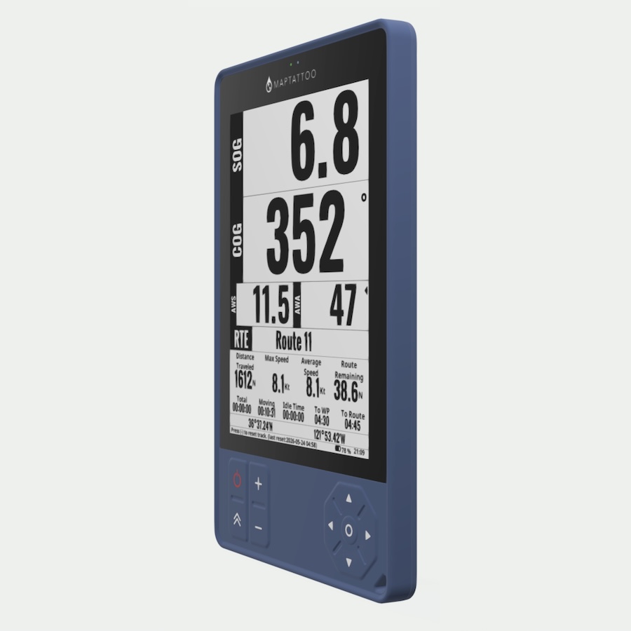
Meet MAPTATTOO Pro. Designed by sailors, it builds on what made MAPTATTOO trusted on the water – exceptional visibility in direct sunlight, long battery life, and a rugged, waterproof design – while introducing Bluetooth connectivity to bring your boat’s data into one place.

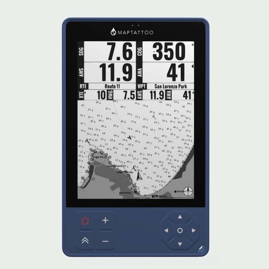
Together with the Gateway, this bundle provides seamless integration for N2K / NMEA 2000 and AIS, MAPTATTOO Pro allows you to view critical information like wind, speed, depth, and traffic on a simple, distraction-free E-Ink display. No installation required – just take it onboard and go.

  • Bluetooth connectivity with Bluetooth sensor information display
  • N2K / NMEA 2000 integration
  • AIS integration
  • Calypso direct integration
  • High visibility Jumbo mode
  • 6” E-Ink Screen – perfectly readable in sunlight
  • Long-lasting 50-hour battery life
  • Easy to mount
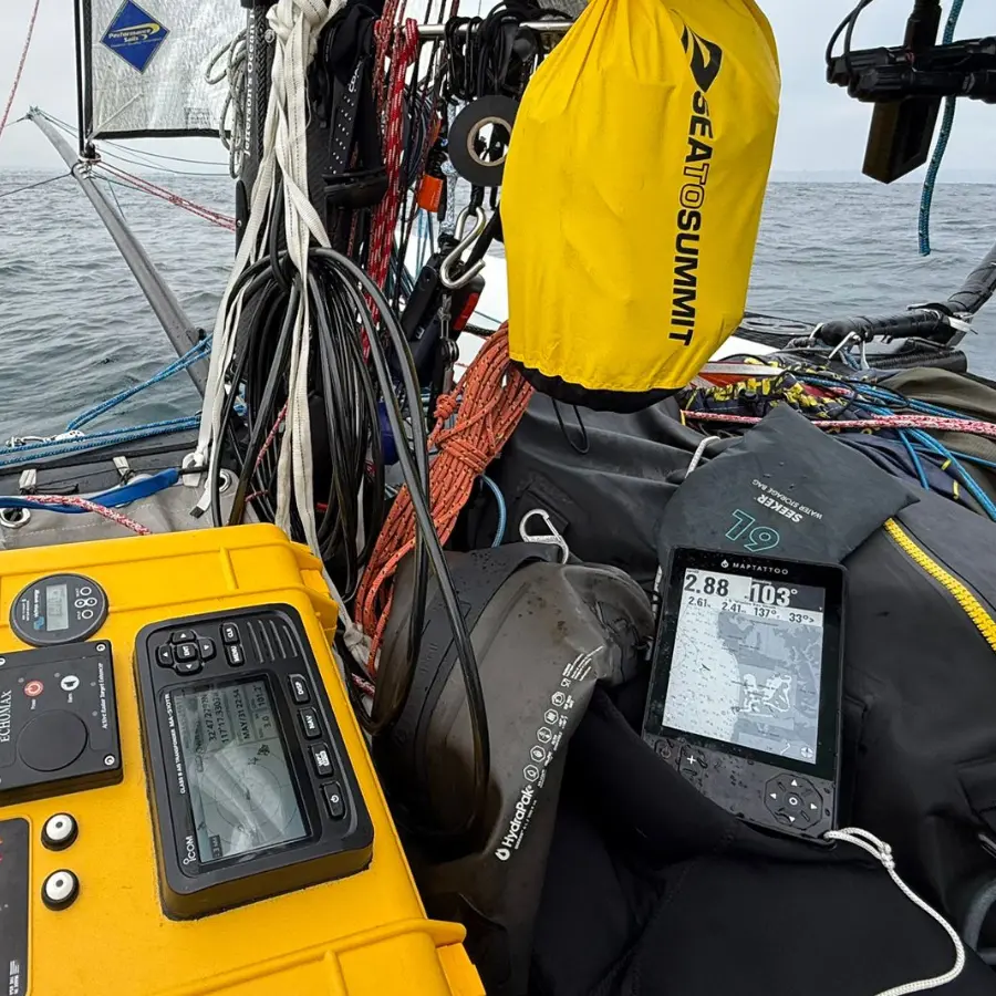
  • Portable, no installation needed
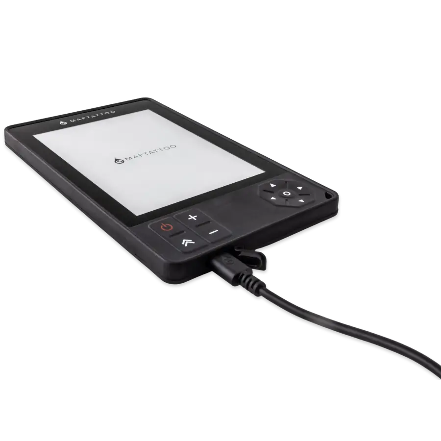
  • Fast USB-C charging
  • IP68 Waterproof – easy to operate in wet environments
  • Rugged chartplotter
  • Firmware and software upgrades

1 Year Warranty. Free Returns.

Please check the marine charts coverage before selecting a chart package. You can inspect the coverage of a package by selecting it in our charts catalog, then click “Explore Coverage”.

We usually ship orders in 5 to 10 business days.

Available on backorder

Bundled Bluetooth Gateway
$250.00
Standalone gateway, designed to work with MAPTATTOO Pro
In stock
Quadlock Mount Kit
Quad Lock® Mount Kit
$59.00
Quad Lock® Mount Kit for MAPTATTOO Marine GPS - 1* Adhesive Original Universal Adaptor (stick to the back of ...
55 in stock
Product total
Options total
Grand total

1 Year Warranty: 1 Year

Category:
Marine GPS with large 6” E-Ink screen. Best readability in sunlight. High viewing angle. 1024*768 pixel resolution, 212 PPI. 16-level of grays. Adaptive front light. Optically bonded 1.1mm Gorilla Glass, rugged tablet construction. Anti-reflective coating.

Large Screen, Perfect Readability

  • Large 6” E-Ink Screen
  • High viewing angle
  • 1448*1024 pixel resolution, 300 PPI
  • 16-level of grays
  • Adaptive front light
  • Optically bonded 1.1mm Gorilla Glass, rugged construction
  • Anti-reflective coating

Chartplotter Functions

  • Speed over ground
  • Heading over ground
  • Distance, bearing to waypoint
  • Routing Capabilities
  • Chart plotting
  • Tides & Current for USA & Canada
  • Configurable Pages and Widgets
  • (Soon) many more functions to come, free software updates available
Optimized Power, Long-lasting Battery Life

  • 5000mAh Battery
  • 50-hour long-lasting battery life (with constant refreshes)
  • Always-on display
  • Power-save mode available
  • Waterproof USB-C fast charging
  • Chartplotter battery can be replaced

Rugged & Waterproof

  • IP68 waterproof (30 minutes, 1.5m/5′)
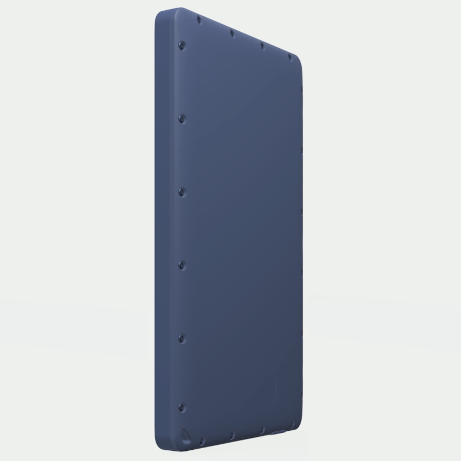
  • The rugged tablet is made with a tough shell and overmolded with elastomer for shock resistance
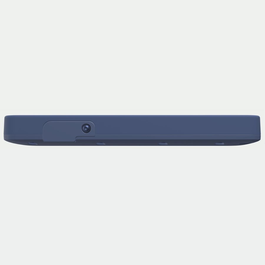
  • Sealed USB-C Cable allows to plug and charge in wet environment
  • Keypad allows access to most functions when touchscreen becomes hard to use when very wet
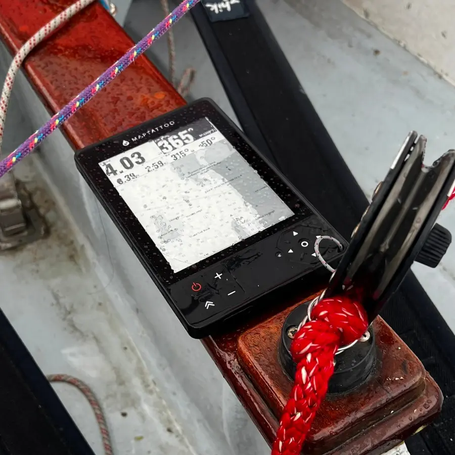
No Installation Needed

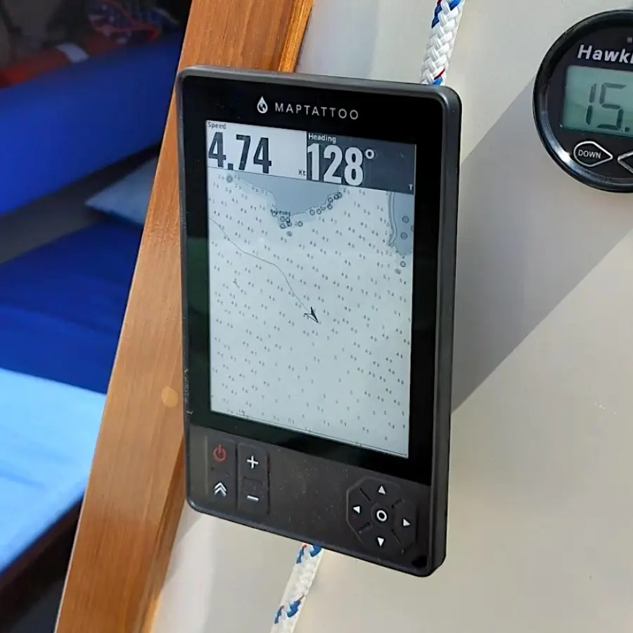
  • Portable boat GPS, designed with small craft in mind
  • No electrical installation – no need to install it into your boat system, simply take it to the small craft you are using, be it a boat, kayak, paddleboard, dinghy, canoe,  or more
  • Mounting options available

Chartplotter Tech Specs

SYSTEM

  • 1GHz, Arm® Cortex®-A9 processor
  • 512 MB LPDDR3 RAM
  • Linux OS
  • Firmware and Software. Upgrades available for customers
  • 32GB NAND Storage (plenty for charts and logs storage)

GPS

  • 72-Channels
  • GPS/QZSS L1 C/A, GLONASS L10F BeiDou B1I, Galileo E1B/C1 SBAS L1
  • up to 18Hz
  • Ceramic GPS/GLONASS/Galileo embedded passive patch antenna
  • 3.23dBi gain

CONNECTIVITY

  • USB-C Connectivity
  • Connects to Mac OS, Windows, Linux
  • Upload and Download charts packages, log files, routes and waypoints
  • Upload and update firmware and software
  • Settings updated from your computer
Marine Boating GPS Charts: USA, Canada, France, Pacific, Atlantic, Great Lakes, Arctic

Available Charts: USA, Canada & France

USA Pacific | USA Atlantic | USA Great Lakes | Canada Pacific | Canada Atlantic Canada Great Lakes | Canada Arctic | France

Coming soon: US Inland Lakes, Canada Inland Lakes, UK, Ireland

FAQ

FAQ

A set of charts is included with the purchase of your MAPTATTOO, simply select the area you are interested in at checkout. You can buy additional charts here: https://www.maptattoo.com/charts/

  • We also have many customers who just use 3M Dual Lock tape

You can see a detailed breakdown of our marine GPS here

The E-ink screen is black & white (grey levels), but what we lose with monochrome is compensated by an extraordinary contrast in sunlight. Additionally, our screen consumes minimal power, allowing the battery to last for 50 hours.

The device can be plugged via waterproof USB-C to an external power supply, and the internal battery can be replaced at our facility in Chicago.

Description

Description of PRO

–REMAIN EMPTY LEAVE THAT HERE–

Reviews

There are no reviews yet.

Be the first to review “MAPTATTOO PRO
Marine GPS with Large 6″ E-Ink Screen and Bluetooth Connectivity”

Your email address will not be published. Required fields are marked *

GPS Speed, Heading

  • View your Speed Over Ground in your unit of choice
  • View your Heading Over Ground (True or Magnetic)
  • Large Screen with highly visible Fonts, from any angle and under any condition
MAPTATTOO boaters GPS speed, heading details.  Speed Over Ground. Heading Over Ground. Large screen with highly visible fonts.
MAPTATTOO GPS Nautical Charts functions. View your position on your marine chart. Zoom-in&out, pan, center, view lights, buoys, dangers,…). Soundings.  Low-depth shaded areas and uncovering areas. See available marine charts.

Nautical Charts

  • View your position on your marine chart
  • Zoom-in&out, Pan, Center
  • View feature information (Lights, Buoys, Dangers,…)
  • View Soundings
  • View low depth shaded areas and uncovering areas
  • Marine charts coverage available here

Tides & Current

  • View Estimated Depth at Tide Stations in USA & Canada
  • View Tide predictions
  • View Estimates Current Speed and Heading at Current Stations in USA & Canada
  • View Current Predictions
MAPTATTOO boaters GPS function: Tides & Current. View Estimated Depth at Tide Stations in USA & Canada. View Tide predictions. View Estimates Current Speed and Heading at Current Stations in USA & Canada. View Current Predictions.
MAPTATTOO boaters GPS function: Search & Go. Use our tablet’s keyboard to search for a location (such as a town, a lighthouse or other locations relevant to sailing).

Search & Go

  • Use our tablet’s virtual keyboard (and/or arrow keypads) to search for a location (any chart feature such as a town, a lighthouse or a beacon for example)
  • Click on it and navigate to your selected place

“Fast Forward”

  • Display a vector forward and indicate anticipated travel times for your small boat
  • Automatically adjust the scale of the vector
“Fast Forward” - Sailors’ favorite function on MAPTATTOO boat GPS. Display a vector forward and indicate anticipated travel times for your boat. Automatically adjust the scale of the vector.
Routes & Waypoints on MAPTATTOO boat GPS. Create Waypoints on-the-go. Create complete routes and load them on MAPTATTOO via USB. View Distance to next Waypoint, VMC (Velocity Made on Course), Bearing to Next Waypoint, Course Deviation.

Routes & Waypoints

  • Create Waypoints on-the-go
  • Waypoints can be created on the device with touch/keypad, feature search as well as Lat / Long
  • Routes can be created on the device
  • Routes can be started, stopped, and reversed
  • Waypoints get auto-labeled based on closest chart features
  • Create complete routes at home and load them on MAPTATTOO via USB
  • View Distance to next Waypoint, VMC (Velocity Made on Course), Bearing to Next Waypoint, Course Deviation

Trip Information

  • Distance Traveled
  • Maximum Speed
  • Average Speed
  • Total remaining distance on route
  • Total Time
  • Time Moving
  • Time Idle
  • Estimated time to Next Waypoint
  • Estimated time to Route Completion
MAPTATTOO marine GPS trip Information: distance traveled, maximum speed, average speed, total remaining distance on route, estimated time to next waypoint, and estimated time to route completion.

In the box

  • 1* 5ft USB-A / USB-C Cable (with waterproof connection to your device)
  • 1* 5ft USB-C / USB-C Cable (with waterproof connection to your device)
  • 1* Chart Package (you can choose at checkout)
  • 1* Protection Sleeve
  • 1 Year Warranty